



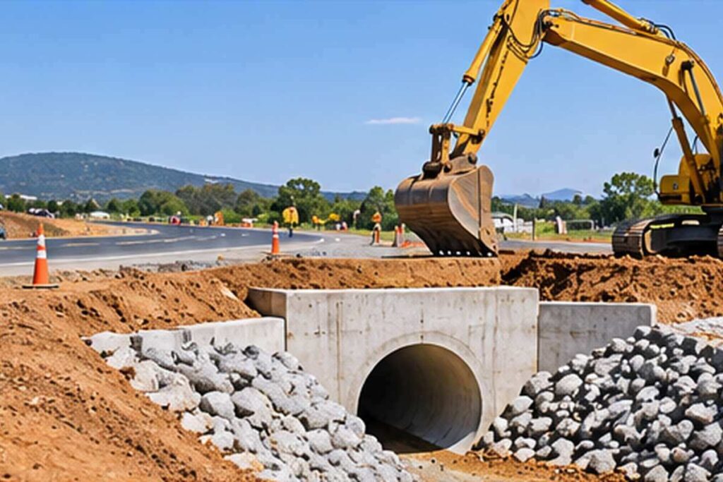
Measure land and spatial features to support boundaries, design and construction setting out. This career guide explains the work and entry pathways in South Africa.
What does a land surveyor do?
Before construction, a surveyor may establish control points and provide topographic information. During construction, survey teams check positions and levels against design information.
Typical responsibilities
- Plan and conduct field measurements.
- Process spatial data and check accuracy.
- Prepare survey plans and reports.
- Support setting out and verification.
Qualifications and training in South Africa
A recognised geomatics or surveying qualification is a common route. Check South African Geomatics Council (SAGC) registration requirements for the relevant category. Cadastral boundary work has specific professional and legal requirements distinct from general construction setting out.
Before enrolling, confirm the training provider’s accreditation, practical assessment arrangements and the requirements of your intended employer. Keep records of supervised experience and completed training.
Skills and tools
Useful skills include total stations, gnss, coordinate systems, data processing and accuracy control. Reliable communication, accurate records and the ability to recognise unsafe or unsuitable conditions are also important.
Employment opportunities
Potential employers include survey practices, civil contractors, developers and infrastructure organisations. Explore the construction contractors directory to learn about businesses in the sector. This guide provides career information, not live vacancies.
Career progression
Possible progression includes survey assistant, candidate geomatics professional, registered surveyor or survey manager. Advancement depends on experience, demonstrated competence and any additional qualifications or registration required for the next role.
Frequently asked questions
Is a land surveyor a quantity surveyor?
No; land surveying concerns spatial measurement and boundaries.
Can anyone certify property boundaries?
No; cadastral work requires appropriate professional registration and authority.
Do surveyors use drones?
Some use aerial surveying with appropriate aviation compliance and accuracy controls.
What is setting out?
Transferring design positions and levels onto the construction site.
Related construction careers
Explore civil engineer and geotechnical engineer careers, or return to the construction careers hub.
