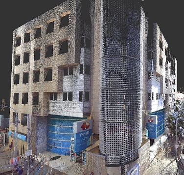
We have been involved in numerous geospatial management, geospatial data delivery and Remote Sensing(Scanning) projects stretching back over the past 18 years including:
- The production of high resolution orthophoto imagery as well as photogrammetric standard mapping products ensuring seamless integration in various geodatabase formats for GIS data spatial analysis.
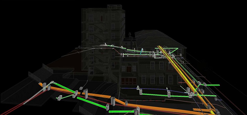
- Remote Sensing (Scanning) solutions from RGB and multi-spectral datasets so as to classify features of interests together with an indication of their status.
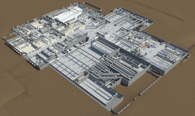
- Advance3D has provided as builts in 2D, 3D, Autocad, Revit with Conditional Assessments and all this info feeds back into Archibus as a technology platform.
- Advance3D has also assisted with DATA MIGRATION, including Data Clean-up, verification and validation prior to input into the Archibus Technology Platform. This is important to make sure that data input into the Archibus Technology Platform is accurate, valid and complete. This would be directly relevant to information/data in relation to Assets.
- Geospatial Data Analytics using various AI and Machine Learning processes (e.g. automated building footprint identification and building volume metrics)
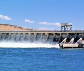
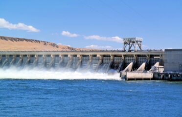
- Asset and Infrastructure Management
- Maintenance Planning
- Digital Project Management
Services
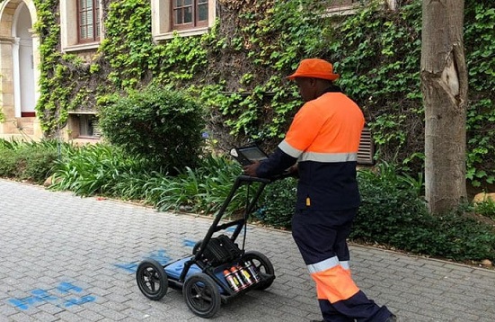
- 3D Laser Scanning
- Aerial Mapping
- Mobile Mapping
- NavVis Mapping
- Scan to BIM


 Own or work here?
Claim Now!
Claim Now!
Own or work here?
Claim Now!
Claim Now!