loaderimg
What
image
  • imageBuilding
  • imageContractors
  • imageExterior
  • imageInterior
  • imageOutdoors
  • imageSuppliers
Where
image
image

Drone Air


Be the first to review

DRONES IN CONSTRUCTION

Drones in construction. Our drones can be used in the construction sector for various applications. RPAS’s can be an invaluable tool in the construction industry. UAV’s can provide real time data furthermore keeping you up to date and keeping your project on track. The can also be used to obtain spectacular pictures for company publications and in addition press releases.

We have successfully completed a number of  short and long term projects for South African construction and additionally engineering companies. We have the required technical skills as well as the aerial drone equipment to make your project a success. Contact us today to see how our dedicated team of professionals can help you. Drone Air is the leading drone operator. We specialise in construction media equally progress related media.

  • Project progress
  • Asset Management
  • Better Safety Records
  • Maps and Surveying
  • Showing Clients the Progress
  • Orthphoto Shareable Maps
  • Keeping the Project On-track
  • Keeping the Project On-Budget
  • 3D Interactive Construction Site Models


WAYS DRONES FACILITATE CONSTRUCTION PROJECTS

One of the typical uses for drones is to track project progress from inception to completion. Taking pictures or video at intervals or moreover at stage completions and combining them at the end. The project can be joined to showcase the different stages in time lapse. Media obtained can also be used to check that a project is on track and additionally serve as marketing material. In house publications as well as external marketing material can be obtained.

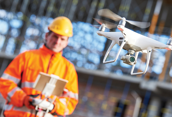
Advantages of drones in construction. Drones can offer a great cost saving. When it comes to construction sites they can keep a project on track and make sure deadlines are met avoiding penalties. UAV’s can also be used to accurately survey and measure volume,area and distance in a fraction of the time and cost compared to traditional methods providing accurate real time usable data to keep you informed.

image