
Durastone...
149 Clydesdale Road, Springs, Ga...

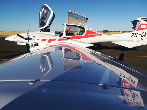
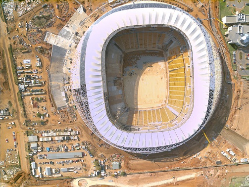
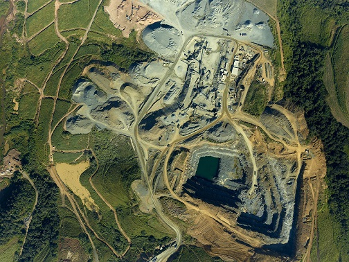


CK Aerial Surveys is listed as a South African supplier of airborne surveying and mapping, with a directory location in Randvaal. Its existing profile describes products and services used by contractors, facilities managers, engineers or industrial customers. This description outlines the advertised offering and practical points to consider when planning a project. Buyers should confirm current product specifications and service availability directly with the business.
The listed range includes digital aerial photography. Customers should discuss the intended application, relevant technical requirements and operating conditions. Check compatibility with existing equipment or building systems and request current documentation. Where installation is required, confirm site access, the necessary preparation and responsibilities for testing or commissioning. Lead times, maintenance requirements and any specialist safety considerations should be clarified before the work begins.
The company also offers airborne LiDAR surveys. Customers should discuss the intended application, relevant technical requirements and operating conditions. Check compatibility with existing equipment or building systems and request current documentation. Where installation is required, confirm site access, the necessary preparation and responsibilities for testing or commissioning. Lead times, maintenance requirements and any specialist safety considerations should be clarified before the work begins.
Another advertised capability is terrain mapping. Customers should discuss the intended application, relevant technical requirements and operating conditions. Check compatibility with existing equipment or building systems and request current documentation. Where installation is required, confirm site access, the necessary preparation and responsibilities for testing or commissioning. Lead times, maintenance requirements and any specialist safety considerations should be clarified before the work begins.
The business further lists geospatial processing and deliverables. Customers should discuss the intended application, relevant technical requirements and operating conditions. Check compatibility with existing equipment or building systems and request current documentation. Where installation is required, confirm site access, the necessary preparation and responsibilities for testing or commissioning. Lead times, maintenance requirements and any specialist safety considerations should be clarified before the work begins.
When contacting CK Aerial Surveys, share the project location, relevant drawings, expected quantities and preferred delivery date. Ask for an itemised quotation that identifies the equipment or materials supplied, installation scope, delivery charges, exclusions and warranty conditions. For ongoing operations, discuss replacement parts, maintenance and technical support. The directory profile includes the company’s contact information and website for further enquiries.
 Own or work here?
Claim Now!
Claim Now!
149 Clydesdale Road, Springs, Ga...

21 Prince Street, Durban, 4001, ...