


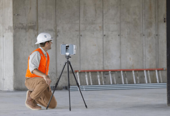
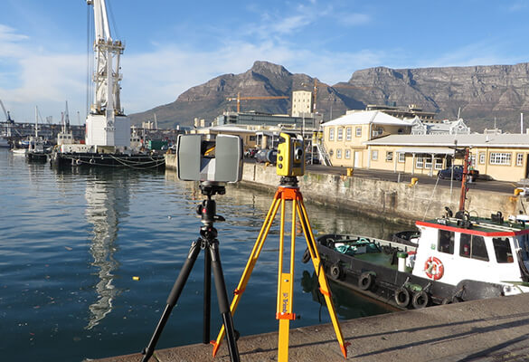
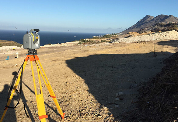
3D LASER SCANNING (LIDAR)
The use of modern laser scanning technology enables us to capture large amounts of data into a point cloud very accurately and very quickly. Originally applied for the construction and maintenance of industrial plant facilities, laser scanning has since been adopted for many other uses, including building construction and building information modelling (BIM).
Cape Survey has many years of experience in 3D scanning in wide variety of applications and uses the most suited hardware and software for each application.
CADASTRAL SURVEYS
SECTIONAL TITLE SURVEYS
TOPOGRAPHIC SURVEYS
ENGINEERING SURVEYS
3D LASER SCANNING (LIDAR)
 Own or work here?
Claim Now!
Claim Now!
Own or work here?
Claim Now!
Claim Now!